Receiving and Decoding the NAVIC (Indian GPS) Satellites
NAVigation with Indian Constellation (NavIC) (previously known as IRNSS) is an Indian navigation system consisting of 7 satellites in geosynchronous and geostationary orbits above India. It is intended for both public and military use, with a public resolution of up to 20m, and military resolution of up to 1m. After a few set backs, the satellite constellation was completed in April 2018.
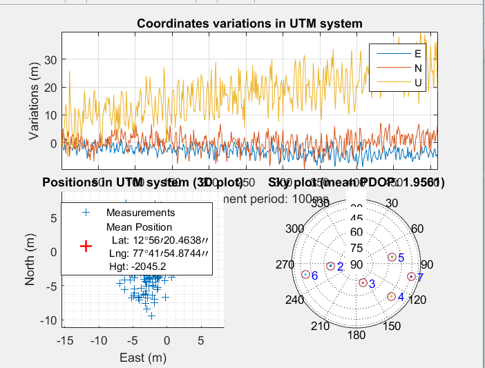
Over on his blog Radiojitter, Priyasloka has put up a post showing how he was able to receive and decode the IRNSS/NAVIC satellites. To do this he uses an RTL-SDR with a GNSS antenna connected, and a modified version of the MATLAB GPS code found in this previous post, and in SoftGNSS. His post first goes through how he was able to decode and receive GPS, then goes over the technical details of the NAVIC signal, and then shows some result screenshots where he was able to determine his location with both GPS and NAVIC.
Priyasloka writes that he hasn't uploaded the modified code yet, but he plans to do so soon.